Country · 3 sites
Roman Serbia
Two things shaped Roman Serbia: a river and a road. The Danube was the empire’s northern frontier here, held by the chain of forts known as the Moesian limes. South of it ran the Via Militaris, the highway that linked Sirmium, Singidunum and Viminacium and carried on through Trimontium to Constantinople. Most of what a visitor can see today sits on one or the other.
At the western end, Sirmium was the capital of the province of Pannonia inferior and later of Pannonia secunda, the centre of the prefecture of Illyricum and the seat of its bishops; its remains lie under the modern town of Sremska Mitrovica. Downstream, where the Sava joins the Danube, Singidunum guarded the frontier on the site of present-day Belgrade. Further east, Viminacium was the main camp of Legio VII Claudia and a frontier city of Moesia from the 1st to the 6th century; because no modern town was built over it, it can be excavated on a scale that is rare, and it has been called the Pompeii of Serbia. Where the Danube narrows into the Iron Gate gorge, Diana was one of the most thoroughly excavated forts of the whole Moesian limes, and Trajan’s architect Apollodorus of Damascus threw the first bridge across the lower Danube in AD 105.
Inland, the sites are imperial rather than military. Constantine the Great was born at Naissus, modern Niš, and built the residence at Mediana in its eastern outskirts, where a late-antique villa, a peristyle and baths have been excavated. Galerius built his own retirement palace at Romuliana near Zaječar, and Justinian I founded an entirely new city, Iustiniana Prima, in the south — planned as the administrative seat of Illyricum and described since as an ideal Byzantine city of the 6th century.
Sources: Wikipedia (de) — Singidunum; Wikipedia (de) — Sirmium; Wikipedia (de) — Viminatium; Wikipedia (de) — Mediana; Wikipedia (de) — Iustiniana Prima; Wikipedia (en) — Trajan's Bridge; Wikipedia (en) — Diana Fort
Landmarks
LandmarkWorth planning a trip around.
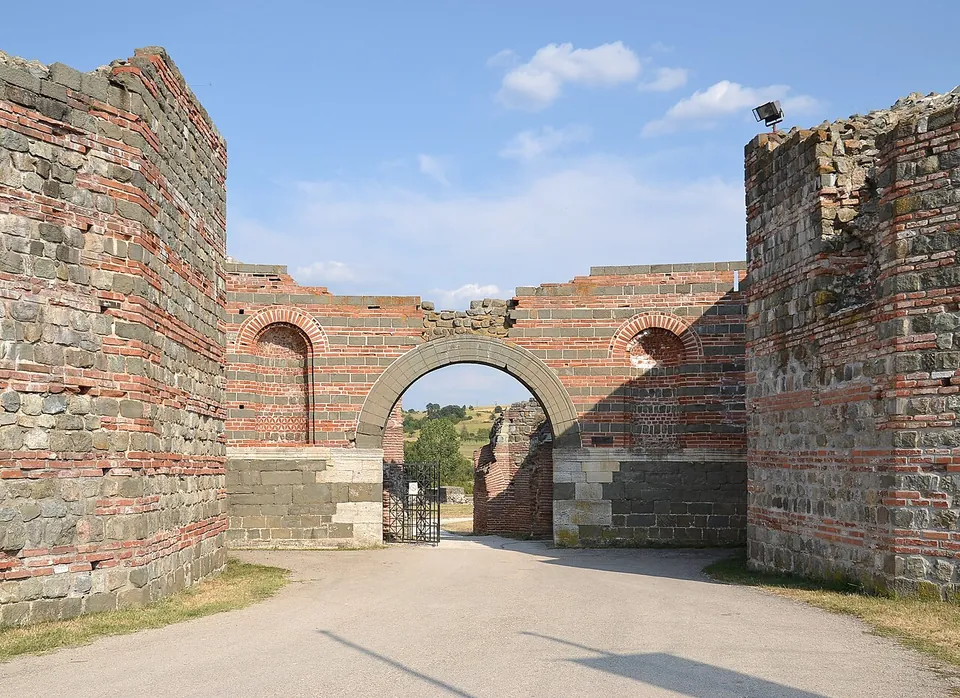
Photo: Pudelek (Marcin Szala) · CC BY-SA 3.0 rs · Commons
3rd – 7th c. ADTicketed
_2.JPG)
.jpg)

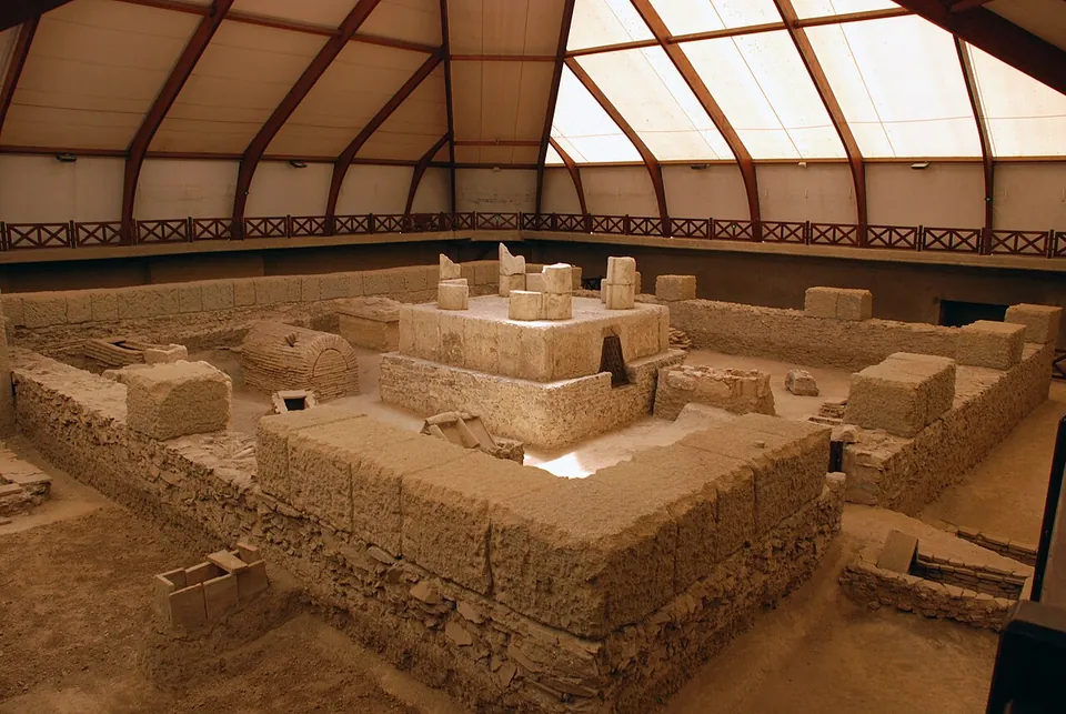
Photo: Saskafoto · CC BY-SA 3.0 · Commons
city · Braničevo District
Viminacium
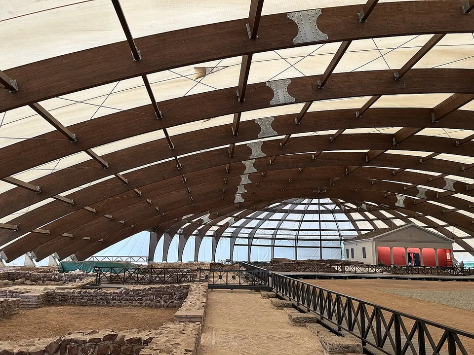
The excavated area is presented as a park rather than a ruin field: several buildings sit under permanent protective roofs, with walkways round them, and a guide takes you between them.
Photo: Pudelek (Marcin Szala) · CC BY-SA 3.0 rs · Commons
villa · Nišava District
Mediana
An archaeological park, and a recently reopened one.
Numbers match the list. H marks a hub. Select a marker for a summary. Static map, generated at build time; the interactive map is one click away.