Country · 1 site
Roman Montenegro
Rome came to the land that is now Montenegro through the Illyrian wars. In 168 BC the Romans defeated Gentius, the last king of Illyria, at Scodra, and the region was later organised as the province of Illyricum. When that province was divided in the early 1st century AD, all of today’s Montenegro fell within Dalmatia, a province that stretched inland across the Dinaric Alps and along most of the eastern Adriatic coast.
Under Diocletian, at the end of the 3rd century, the south-eastern corner of Dalmatia became a province of its own, Praevalitana, covering parts of present-day Montenegro, Albania and Kosovo. Its first capital was Doclea, the largest settlement of the Illyrian Docleatae, which had become a Roman municipium in the 1st century; later the capital moved to Scodra. After the fall of the Western Empire the region stayed under Constantinople, and Justinian’s generals used it as a base in the Gothic War, until Avars and Slavs overran its cities in the 6th and 7th centuries.
Doclea, on a plateau where the Zeta meets the Morača just outside Podgorica, is the one site we have documented so far: a walled town of forum, temples, baths and early Christian churches, now an open field of ruins. This page will grow as more of Roman Montenegro is visited and written up.
Sources: Wikipedia (en) — Praevalitana; Wikipedia (en) — Dalmatia (Roman province); Wikipedia (en) — Doclea (Illyria)

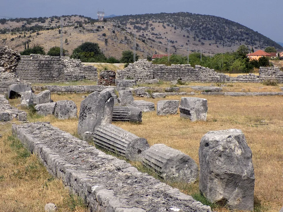
Photo: BuhaM · CC BY-SA 4.0 · Commons
city · Podgorica
Doclea
The walled town was a long, irregular polygon protected by rivers on three sides, with walls 2 to 2.3 m thick, strongest on the east, and remains of towers still visible on the north side (sr.wikipedia).
Numbers match the list. H marks a hub. Select a marker for a summary. Static map, generated at build time; the interactive map is one click away.