Country · 3 sites
Roman Bosnia & Herzegovina
Most of today’s Bosnia and Herzegovina lay within the Roman province of Dalmatia, which ran from the Adriatic coast inland across the Dinaric Alps. Octavian campaigned in the region in 35–33 BC, and after the great revolt of AD 6–9 the old province of Illyricum was divided into Dalmatia and Pannonia. The coastal towns such as Salona and Narona were the centres of Roman life; the hinterland behind them was farmed, garrisoned and crossed by roads leading inland from the sea.
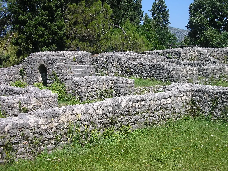
The sites documented so far show three sides of that world. In the Neretva valley near Čapljina, Mogorjelo began as the farm of an Italic settler supplying the town of Narona and was rebuilt in the 4th century as a walled estate with towers at its corners, whose walls and gates still stand among cypresses. Near Ljubuški, the complex at Gračine, long taken for a military camp on the road from Salona to Narona, keeps the footings of buildings with underfloor heating, though scholars now debate what it was. And in Jajce, a small shrine of the god Mithras keeps its cult relief carved into the living rock, now under a glass shelter.
None of these is a large archaeological park, and official visiting information is thin; each page says what is and is not known.
Sources: Wikipedia (en) — Dalmatia (Roman province); Wikipedia (en) — Mogorjelo; Wikipedia (en) — Jajce Mithraeum; Wikipedia (de) — Kastell Bigeste
.JPG)


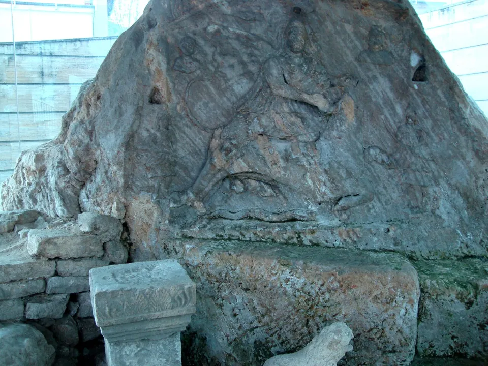
Photo: Kisanova · CC BY-SA 4.0 · Commons
temple · Jajce
Jajce Mithraeum
A single small room, about 7 m long, dug into the ground to feel like the cave the cult preferred.
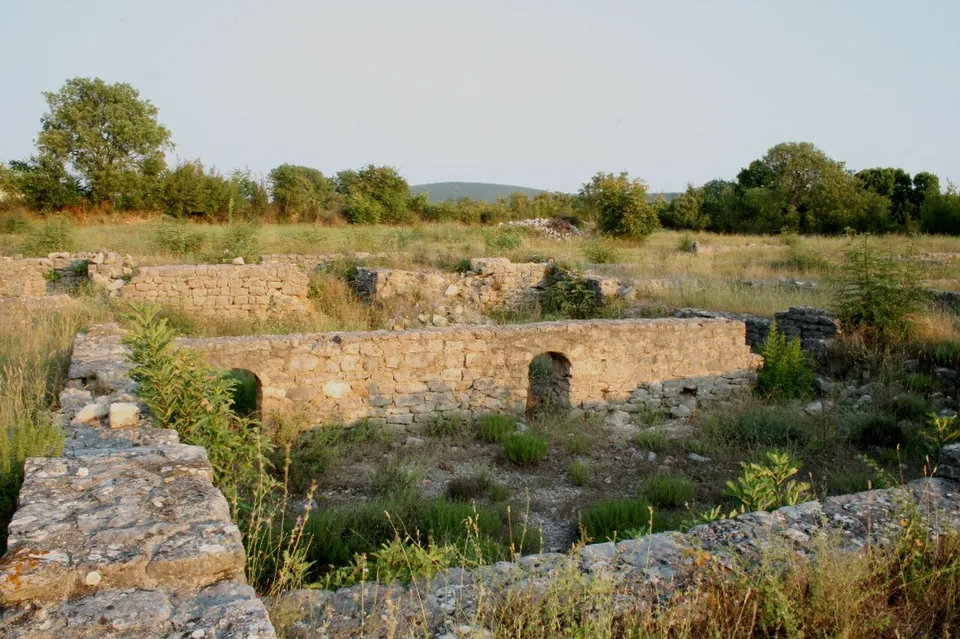
Photo: Croromano · CC BY-SA 3.0 · Commons
fort · Ljubuški
Castra of Gračine
The site covers about 4 hectares, of which the walled complex took about 1.5; its wall, about 0.9 m thick, ran 140 m north to south and 110 m east to west (hr.wikipedia).
villa · Čapljina
Mogorjelo
The 4th-century compound measures 102 by 86 m, with a tower at each corner — three square and one, the eastern, round — and gates on three sides, the north gate once flanked by carved blocks with acanthus and vine.
Numbers match the list. H marks a hub. Select a marker for a summary. Static map, generated at build time; the interactive map is one click away.