Photo: Olgierd Rudak · CC BY-SA 4.0 · Commons
Stop 1 · amphitheatre · Istria County
Pula Arena
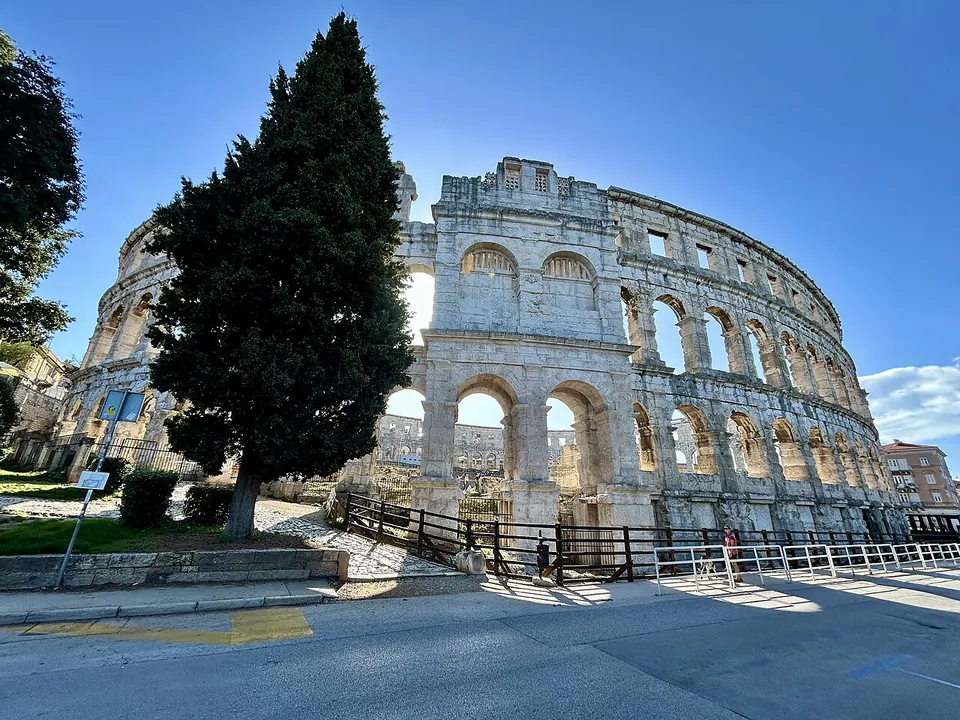
The oval measures about 132 by 105 m, and the wall rises to 32.45 m at its highest (the operator; en.wikipedia).
Colonia Pietas Iulia Pola, Pietas Iulia
city · Istria County, Croatia
About 1.4 km and 17 minutes of walking, plus time at each stop.
↓ ≈ 7 min walk
↓ ≈ 3 min walk
↓ ≈ 7 min walk
Walking times are estimates: the straight-line distance × 1.3 for streets, at 80 m a minute.
Photo: Olgierd Rudak · CC BY-SA 4.0 · Commons
Stop 1 · amphitheatre · Istria County
The oval measures about 132 by 105 m, and the wall rises to 32.45 m at its highest (the operator; en.wikipedia).
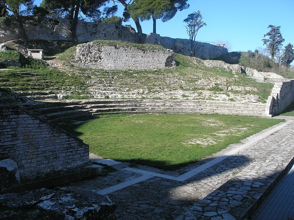
Photo: Orlovic · CC BY-SA 4.0 · Commons
Stop 2 · theatre · Istria County
The foundations of the stage building and the semicircular auditorium, its seating partly cut into the living rock of the slope, with the stage and the actors' area on the flat side (the museum; hr.wikipedia).
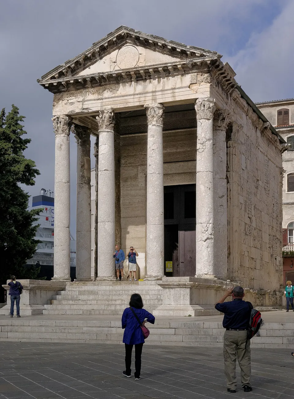
Photo: Berthold Werner · CC BY-SA 3.0 · Commons
Stop 4 · temple · Istria County
The temple is about 13 m high, 8.5 m wide and 17.65 m long: a closed shrine behind a porch of six Corinthian columns, four of them across the front.
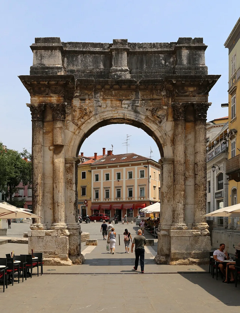
The stops each have their own page: the Pula Arena, the amphitheatre; the Temple of Augustus on the forum; the Arch of the Sergii at the end of the main street; and the Small Roman Theatre on the slope of the central hill.
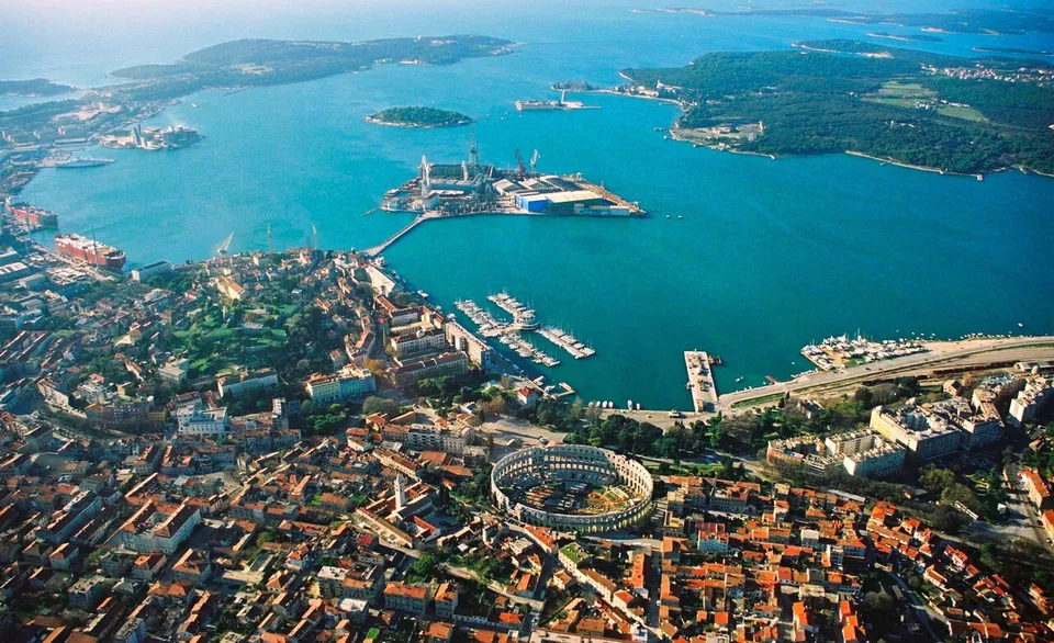
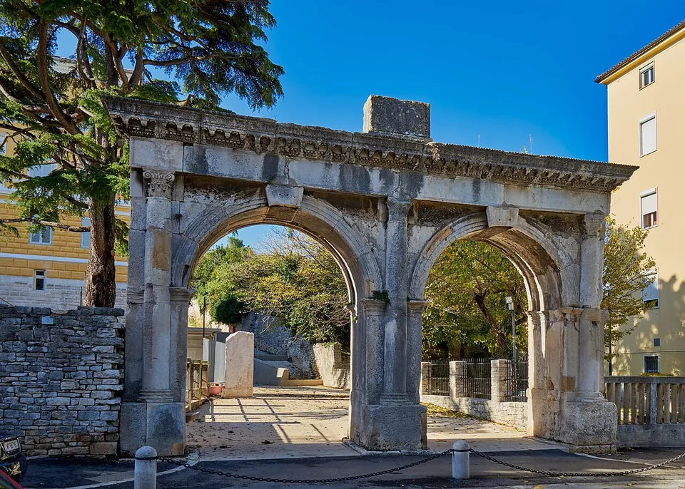
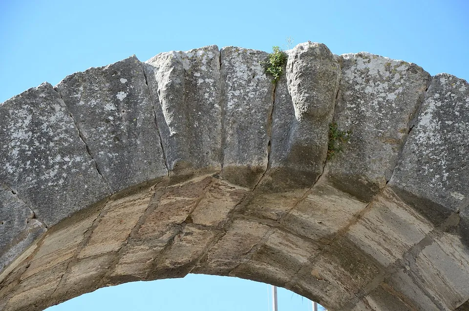
Between them, the town itself is Roman underneath. The walls, built as soon as the colony was founded, followed the shoreline round the foot of the hill, and parts of their gates survive. The Gate of Hercules is the only one kept in its original late-Republican form: a single arch set at an angle to the wall, with a bearded head of Hercules and his club carved at its crown and, beside them, the names of the colony’s first two magistrates, Calpurnius Piso and Cassius Longinus. The Twin Gates survive as rebuilt in the early Empire, two equal arches under one richly carved cornice; both gates were buried under the collapsed wall in the 18th century (the museum). Behind Sergijevaca 12, on the main street of the Roman town, the mosaic of the Punishment of Dirce lies where it was found in 1958–59: the dining-room floor of a wealthy town house, of the late 2nd or 3rd century, with the myth of Dirce torn apart by a bull at its centre (the museum).
Yes. It is the Arena — a complete amphitheatre wall — that makes it worth planning a trip around, but the rest turns a single monument into a Roman town you can walk through: a temple, an arch, gates, a theatre and a mosaic floor, all in everyday streets and most of them free.
The point on the map is the forum, the town’s main square; the Arena, the arch and the gates are all within a kilometre of it on foot. Paid car parks are mapped about 110 m and 220 m from the forum (OpenStreetMap). The Arena and the Temple of Augustus charge admission and have their own hours; the arch, the gates and the Dirce mosaic are in the street, and the mosaic is reached from the back, through the car park south of the Graz city park (the museum). The Archaeological Museum of Istria is closed while a new permanent display is prepared.
Before you go
The Romans conquered Istria in 177 BC. Pola became a colony between 46 and 45 BC, under Julius Caesar, on the site of an older hillfort of the Histri, and at its height had about 30,000 inhabitants. Having sided with Caesar’s assassins in the civil war of 42 BC, it was destroyed after Octavian’s victory and then rebuilt, taking the name Colonia Pietas Iulia Pola Pollentia Herculanea; it belonged to Venetia et Histria, a region of Roman Italy (en.wikipedia; the museum). Two reigning Caesars were executed here, Crispus in 326 and Constantius Gallus in 354, and the town became a bishopric in 425. In 476 it was all but destroyed by Odoacer; it then passed to the Ostrogoths and, from 540, to Byzantine Ravenna, under which it prospered again as a naval port (en.wikipedia).
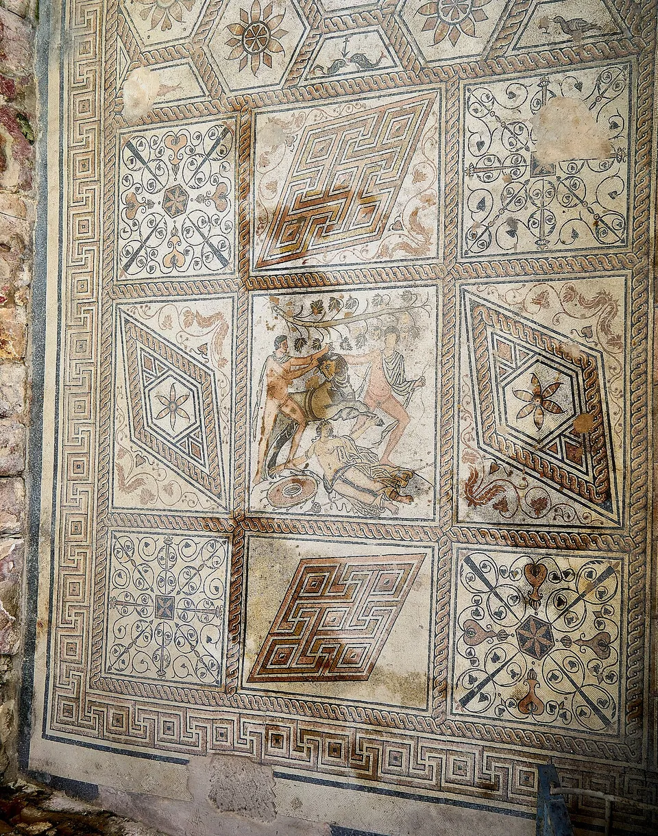
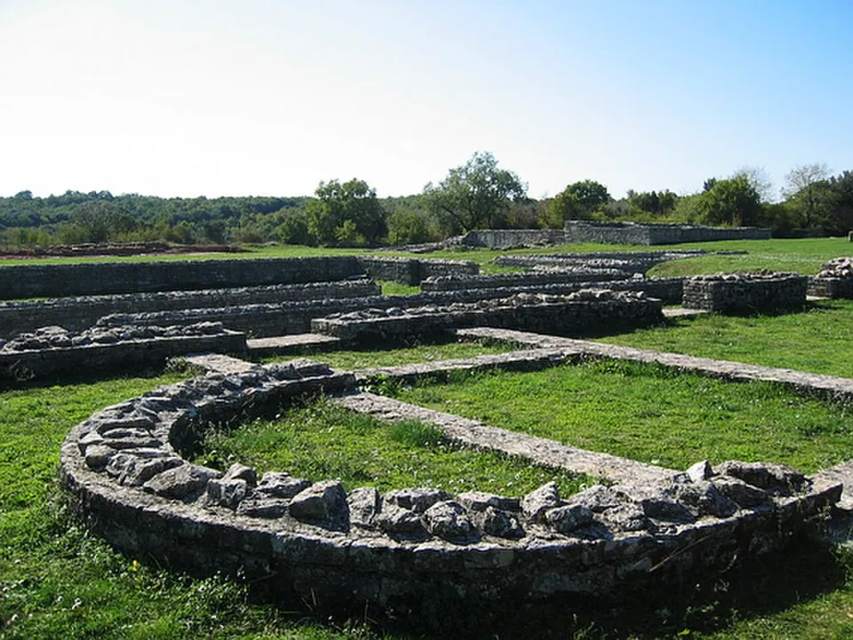
Photo: Hieronymushistriae · CC BY-SA 3.0 · Commons
44 km · city · Istria County
The town plan still shows the shape of the Roman castrum, and the two main streets, the Decumanus and the Cardo Maximus, keep their original lines.
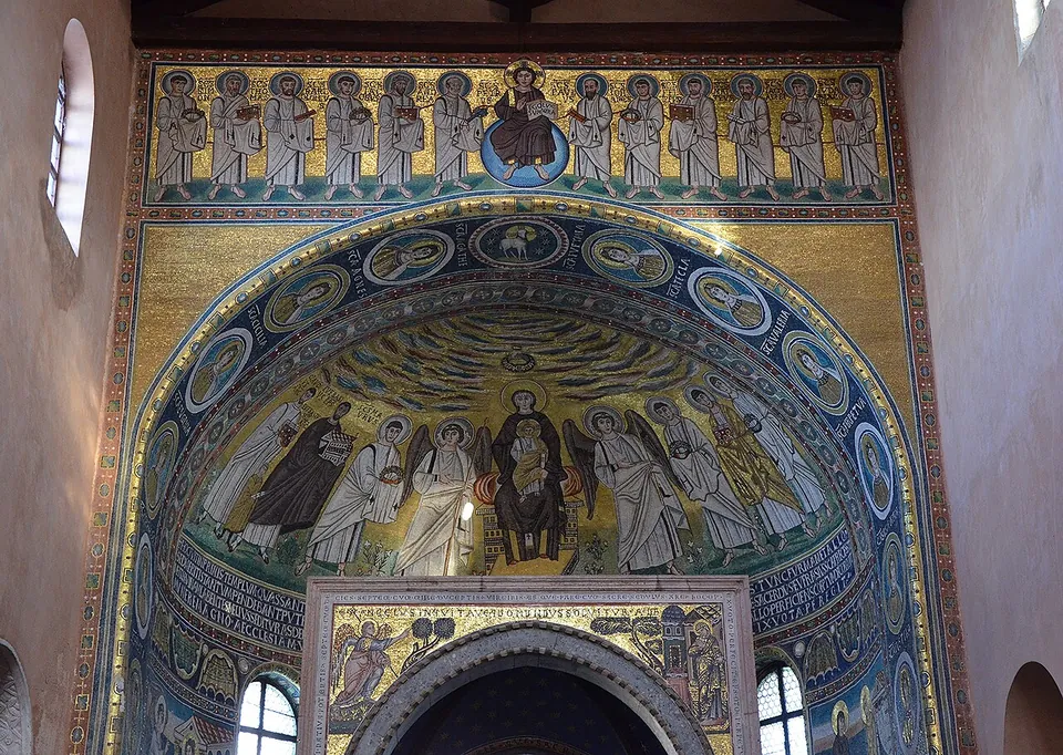
Photo: Carole Raddato · CC BY-SA 2.0 · Commons
44 km · site · Istria County
The whole episcopal complex survives: the basilica itself, an atrium surrounded by porticoes with a collection of carved stones, an octagonal baptistery, the bishop's palace and a later bell tower (en.wikipedia).
Straight-line distances.
Every fact on this page comes from the records below, each used under the licence noted.
| Source | Licence |
|---|---|
| Pleiades 197448 | CC BY |
| Wikipedia (en) — Pula (History) | CC BY-SA 4.0 |
| Arheološki muzej Istre — Gradske zidine s vratima (town walls and gates) | licence not recorded |
| Arheološki muzej Istre — Mozaik s prikazom kažnjavanja Dirke | licence not recorded |
| Arheološki muzej Istre — visitor information | licence not recorded |


.jpg)
.jpg)


.jpg)