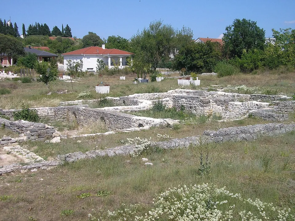
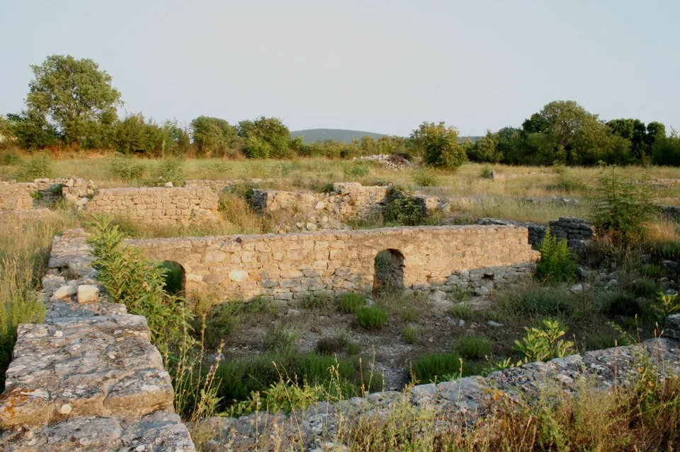
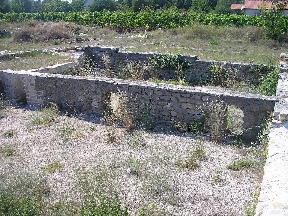
Gračine, at Humac near Ljubuški, is the site of a Roman complex long described as a military camp on the Salona–Narona road — perhaps the Bigeste of the ancient road maps. What you see is a conserved group of foundations, one building with underfloor heating, in an open field. Whether it was really a camp is now debated.
What is there today
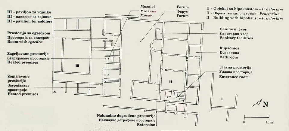
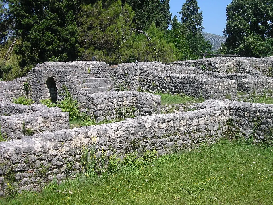
The site covers about 4 hectares, of which the walled complex took about 1.5; its wall, about 0.9 m thick, ran 140 m north to south and 110 m east to west (hr.wikipedia). Excavations in 1977–80 uncovered about a sixth of it: four buildings, the best preserved a central building of 550 m² with underfloor heating, a black-and-white mosaic floor and frescoed walls. Their conserved footings are what is visible today (hr.wikipedia; the photographs). The finds — over 7,000 objects, from mosaic cubes and pottery to coins, lamps, brooches and stamped tiles — are mostly in the National Museum in Sarajevo, with some in the museum of the Franciscan monastery at Humac (hr.wikipedia).
Is it worth the trip?
Only for enthusiasts of the Roman army or of Herzegovina’s archaeology. It is a field of low footings with no published opening arrangements, and Croatian Wikipedia describes it as neglected and partly lost to building work. If you are in Ljubuški, the museum of the Franciscan monastery at Humac, with its archaeological collection and lapidarium, may be the better introduction to Roman Ljubuški (the tourist board).
Getting there
Gračine lies on a flat plateau above the left bank of the Trebižat at Humac, south-west of Ljubuški — 2 km according to the tourist board, 4 km according to German Wikipedia. A bus stop is mapped about 200 m away (OpenStreetMap). No source records opening hours or a fee.
Visiting details
- Tickets
- Unknown
Before you go
- No source publishes opening hours or a price. Croatian Wikipedia describes the site as neglected, and part of it has been lost to building work nearby; the tourist board says it was conserved in 1977-88 and that new research began in 2017.
- The finds are mostly in the National Museum in Sarajevo; some are in the museum of the Franciscan monastery at Humac (hr.wikipedia; the tourist board).
History
In Caesar’s time Narona became a base in the war against the Delmatae, and the camp at Humac may have been built then to protect it; the oldest material evidence, tiles stamped Q. C. P. PANSIANA, dates to about 43/42 BC. Another possible date is AD 14, when Tiberius settled veterans of the Seventh Legion near Ljubuški (hr.wikipedia). Tiles stamped by the Eighth and Fourth legions and by two cohorts, and early imperial tombstones naming four cohorts, show that several units served here, though not at the same time (de.wikipedia). The site was abandoned between the 2nd and 3rd centuries (hr.wikipedia). The excavator Ivo Bojanovski believed he had found the headquarters and barracks; Radoslav Dodig’s more recent study argues that they were a bath and a house, and that the complex was a defensive post guarding the road and the farms of the Trebižat valley rather than part of a frontier (de.wikipedia). It was declared a National Monument of Bosnia and Herzegovina in 2003 (hr.wikipedia).
More photographs
Nearby
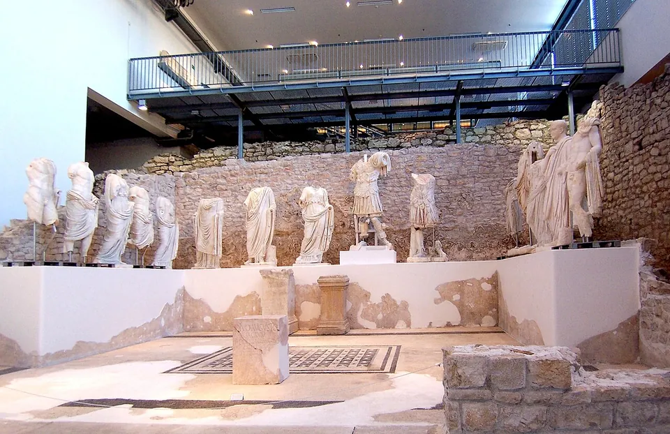
Photo: Rolf Kawel · CC BY-SA 3.0 de · Commons
14 km · city · Dubrovnik-Neretva County
Narona
The Narona Archaeological Museum was the first museum in Croatia built in situ, over the remains of the Augusteum, the temple of the emperor Augustus (hr.wikipedia).
17 km · villa · Čapljina
Mogorjelo
The 4th-century compound measures 102 by 86 m, with a tower at each corner — three square and one, the eastern, round — and gates on three sides, the north gate once flanked by carved blocks with acanthus and vine.
.jpg)

.jpg)


.JPG)
Straight-line distances.
Sources
Every fact on this page comes from the records below, each used under the licence noted.
| Source | Licence |
|---|---|
| Pleiades 197167 | CC BY |
| Wikidata Q1735363 | CC0 |
| OpenStreetMap relation/13883453 | ODbL |
| Wikipedia (hr) — Rimski vojni logor u Humcu | CC BY-SA 4.0 |
| Wikipedia (de) — Kastell Bigeste | CC BY-SA 4.0 |
| Turistička zajednica grada Ljubuškog — Kulturne znamenitosti | licence not recorded |