.JPG)
.JPG)
.JPG)
Mogorjelo is a late Roman fortified country estate on a hill near Čapljina in Herzegovina, a working farm that supplied the Roman town of Narona and was rebuilt in the early 4th century as a walled compound with towers at its corners. Its walls, gates and stairs still stand in a grove of cypresses.
What is there today
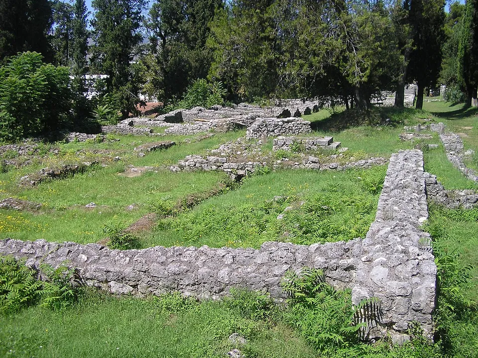
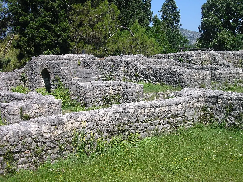
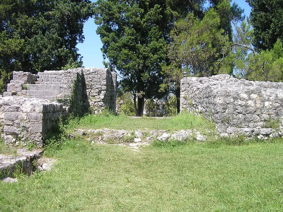
The 4th-century compound measures 102 by 86 m, with a tower at each corner — three square and one, the eastern, round — and gates on three sides, the north gate once flanked by carved blocks with acanthus and vine. Stairs beside every gate led up to the parapets. Inside stood a two-storey residence with a portico of Corinthian columns, mosaic floors and walls painted to look like marble, together with workers’ rooms, storerooms, five oil tanks sunk into the ground, and the press, mill and bakery of the earlier farm, built into the new walls (hr.wikipedia). The ruins of two 5th-century basilicas stand in the north-east corner (en.wikipedia). The walls were conserved in 1903–04, when the cypresses were planted, and again between 1951 and 1964, when stretches were partly rebuilt and the ancient press restored (hr.wikipedia).
Is it worth the trip?
Yes, if you are in the Neretva valley: Bosnian Wikipedia counts it among the finest late antique buildings in Bosnia and Herzegovina, its circuit of walls and gates is easy to follow, and it pairs naturally with Narona, the town it supplied, a few kilometres away across the Croatian border at Vid. No operator publishes opening hours or prices, so treat it as an open site and check locally.
Getting there
Mogorjelo is on a hill between the Trebižat and the Neretva, beside the road to Gabela, close to Čapljina — published distances range from 1 km (the Čapljina tourist organisation) to 5 km (en.wikipedia), and OpenStreetMap puts the town centre 1.6 km away. A car park is mapped about 70 m from the site (OpenStreetMap).
Visiting details
- Tickets
- Unknown
- Parking
- A car park is mapped about 70 m from the site (OpenStreetMap).
Before you go
- No operator publishes opening hours or an admission price; the Čapljina tourist organisation (+387 36 806 147) is the local contact.
History
An Italic settler built a farm estate here in the 1st century AD, with a building for processing produce on the hilltop and a residence on the sunny south slope; it supplied Narona. It burned in the 3rd century, and the property probably passed to the state (en.wikipedia). In the early 4th century a state estate was built over the ruins as a walled compound. Carl Patsch, who excavated it at the turn of the 20th century, took it for a Roman fort, but later scholars see it as a fortified great estate (hr.wikipedia). It was taken and partly destroyed by the Visigoths around 400 — at the end of the 4th century according to Croatian Wikipedia, in 401–403 according to English Wikipedia. Life went on: two basilicas were built in the ruins in the mid-5th century, Carolingian objects of the 9th century have been found, and people were buried on the site until the 19th century (en.wikipedia). It was declared a National Monument of Bosnia and Herzegovina in November 2002 (hr.wikipedia).
More photographs
.JPG)
Nearby
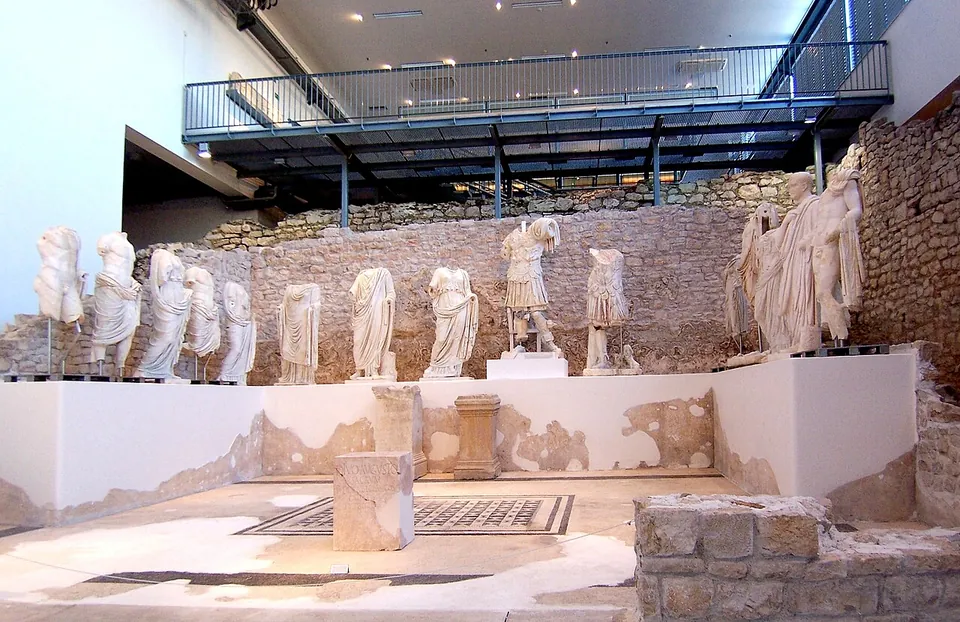
Photo: Rolf Kawel · CC BY-SA 3.0 de · Commons
6 km · city · Dubrovnik-Neretva County
Narona
The Narona Archaeological Museum was the first museum in Croatia built in situ, over the remains of the Augusteum, the temple of the emperor Augustus (hr.wikipedia).
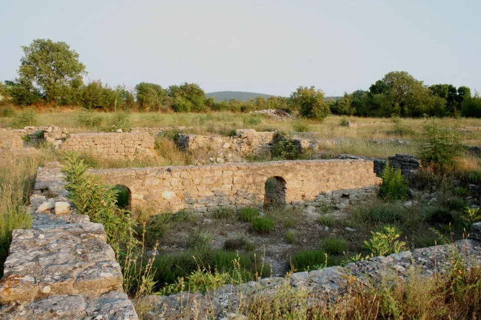
Photo: Croromano · CC BY-SA 3.0 · Commons
17 km · fort · Ljubuški
Castra of Gračine
The site covers about 4 hectares, of which the walled complex took about 1.5; its wall, about 0.9 m thick, ran 140 m north to south and 110 m east to west (hr.wikipedia).


Straight-line distances.
Sources
Every fact on this page comes from the records below, each used under the licence noted.
| Source | Licence |
|---|---|
| Pleiades 572489080 | CC BY |
| Wikidata Q3511638 | CC0 |
| Vici.org 18246 | CC BY-SA (text), CC0 (metadata) |
| OpenStreetMap node/1460167510 | ODbL |
| Wikipedia (en) — Mogorjelo | CC BY-SA 4.0 |
| Wikipedia (hr) — Mogorjelo | CC BY-SA 4.0 |
| Čapljinka (Čapljina tourist organisation) — Kasnoantička vila Mogorjelo | licence not recorded |