
.jpg)
.jpg)
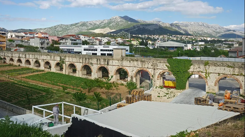
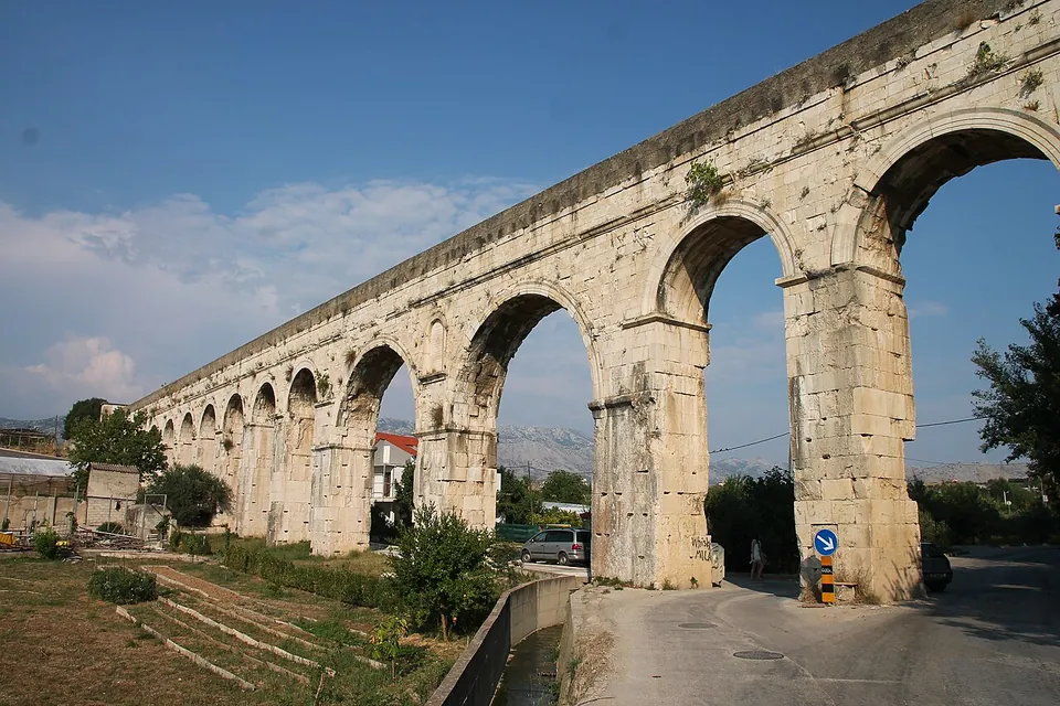
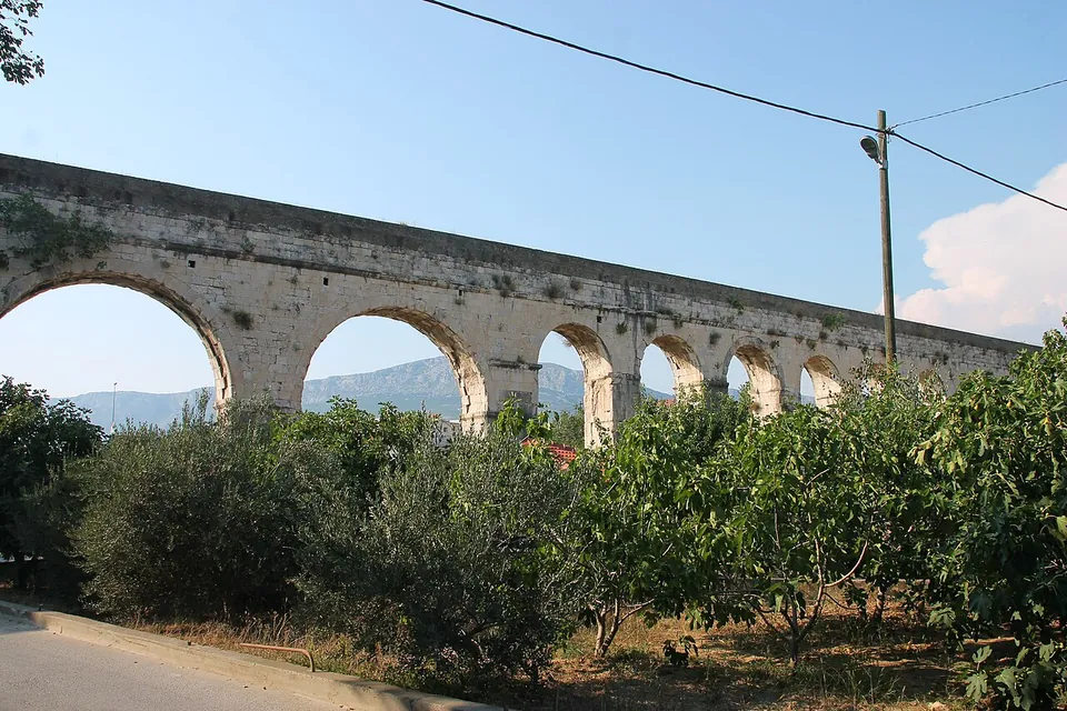
Diocletian’s Aqueduct is the Roman water channel, about 9 km long, that brought water from the source of the river Jadro to the emperor’s palace in Split. Its most striking stretch is a row of tall stone arches standing among the houses of Solin, which you can walk and drive under.
What is there today
The channel runs through cuttings and tunnels or is dug into the rock, and where it crosses low ground it rides on arches (hr.wikipedia). The most impressive part is the arcade near Dujmovača in Solin, about 180 m long and up to 16.5 m high (en and hr.wikipedia). How much of what stands is Roman is not fully clear: the aqueduct was restored and put back into use in 1877–1880, when destroyed sections were rebuilt, above-ground parts were simplified with fewer arches, and stretches of the Roman vaulted channel were replaced with flat stone slabs (hr.wikipedia). It is being restored again today (en.wikipedia).
Is it worth the trip?
As a short stop on the way between Split and Salona, yes: it costs nothing, and it shows the engineering that kept the palace supplied. It is not a destination on its own. The arches stand in an ordinary suburban street, among builders’ yards and gardens rather than in open landscape.
Getting there
The standing arcade is in Solin, on the way from Split to Salona; the point on the map is the arcade itself (OpenStreetMap). It is in public streets, open at all times and free. A paid car park is mapped nearby (OpenStreetMap).
Visiting details
- Tickets
- Free
- Parking
- A paid car park is mapped in the area (OSM way/256068274, fee=yes); the arches themselves stand beside a public road.
Before you go
- This is a stretch of standing arches in a suburban street, with no visitor facilities; it is under restoration (en and hr.wikipedia), so parts may be fenced.
History
The aqueduct was built at the same time as Diocletian’s Palace, at the end of the 3rd or the beginning of the 4th century, to bring drinking water from the source of the Jadro to the palace and probably to the settlements around it; another aqueduct took water from the same source to Salona. The Goths damaged it in the middle of the 6th century, and it then stood dry for thirteen centuries. Rebuilt under Austrian rule in 1877–1880, it supplied Split again until 1932, when a pumping station at Kopilica took over and the aqueduct carried only surplus water; its water was declared unfit to drink after a typhoid epidemic in 1948, and it was cut off completely in 1979 (en and hr.wikipedia).
Nearby
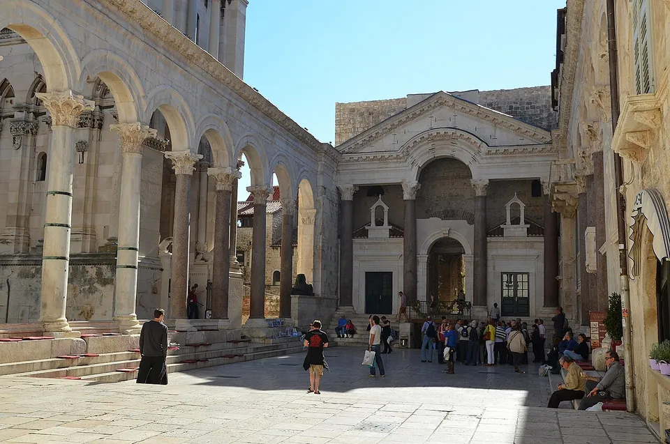
Photo: Following Hadrian · CC BY-SA 2.0 · Commons
4 km · palace · Split-Dalmatia County
Diocletian's Palace
The palace is an irregular rectangle of roughly 215 by 175–180 m, laid out like a legionary fort, with towers on its three landward walls and a gate in the middle of each side.
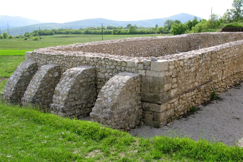
Photo: Ante Perković · CC BY-SA 3.0 · Commons
21 km · fort · Split-Dalmatia County
Tilurium
The camp covered about 12 hectares, and the village of Gardun sits over it (en.wikipedia).
.jpg)

Straight-line distances.
Sources
Every fact on this page comes from the records below, each used under the licence noted.
| Source | Licence |
|---|---|
| Wikidata Q1259993 | CC0 |
| Vici.org 22721 | CC BY-SA (text), CC0 (metadata) |
| OpenStreetMap relation/10002629 | ODbL |
| Wikipedia (en) — Aqueduct of Diocletian | CC BY-SA 4.0 |
| Wikipedia (hr) — Dioklecijanov akvedukt | CC BY-SA 4.0 |