What is there today
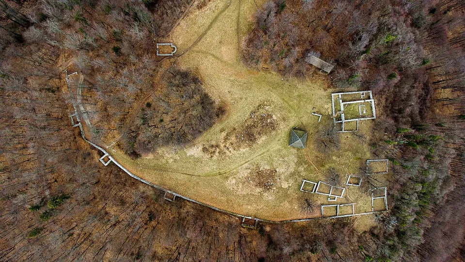
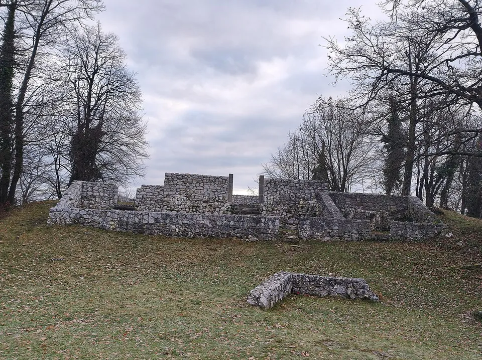
The plan of the settlement is the point. The foundations of two early Christian churches, seven houses and the defensive walls with their guardhouses and a cistern are laid out on the hilltop (Turistični portal občine Šentjur; register unit 622), and from above they read as a complete small town rather than a scatter of stones. The larger church still stands to about head height; everything else is at foundation level. A prehistoric house has been rebuilt on the site and holds display panels about the hill’s history.
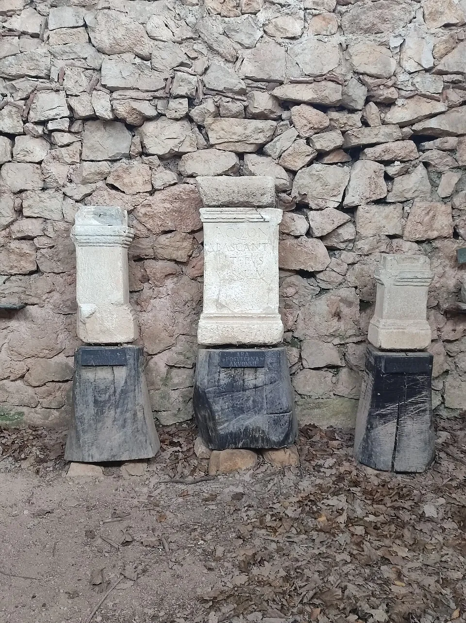
At the highest point of Rifnik stood a temple of Aquo, the local god of the river Voglajne (sl.wikipedia), and altars to him stand on the site. The hill was lived on long before and long after the Romans — the register dates occupation from the copper age through to the early Middle Ages — so what you are walking through is one phase of a very long story, and the phase that was chosen for presentation.
What is not here are the finds. They are down in Šentjur, in the Rifnik collection on Zgornji trg.
Is it worth the trip?
Yes, with one condition: that you are happy to walk up a hill. There is no gate, no ticket and no opening time — the park is open all year and the remains are simply there — and for a site of this completeness that is unusually generous. If you have seen only Roman forts and towns, this is something different: a fortified hilltop settlement where people retreated in late antiquity, with its churches, its houses and its water supply all legible at once.
Two honest notes. Nothing is mapped at the top for a car, and the nearest road is about 160 m away, so this is a short climb rather than a lay-by. And the presentation is austere: walls, outlines and a reconstructed house, without the interpretation you would get at a ticketed site. Arrange a guide through the tourist office in Šentjur if you want the story on the spot.
Getting there
The archaeological site takes in the whole hill of Rifnik, south of Šentjur (sl.wikipedia), about 2 km from the town centre (OpenStreetMap). Footpaths run right up to the remains — OpenStreetMap has one within a few metres of them — and the hill is a popular walk in its own right. There is a log cabin, Hiška pod Goro, at the entrance to the park which serves as a tourist office.
Guided tours are arranged through TIC Šentjur (+386 3 749 25 23). There is no admission charge (turizem-sentjur.com, read 26 September 2026).
Visiting details
- Opening hours
- Open all year. It is an unfenced hilltop park with no gate and no ticket office.
- Tickets
- Free. Guided tours can be arranged through the tourist office in Šentjur (TIC Šentjur, +386 3 749 25 23).
- Parking
- Nothing is mapped at the site itself; the nearest road is about 160 m away (OpenStreetMap).
Before you go
- The site is on a hilltop reached on foot - paths run right up to the remains, but there is no parking or public transport at the top.
- The finds are not here. They are in the Rifnik collection at Zgornji trg in Šentjur.
Hours and prices checked 26 September 2026 on the operator's own site. Confirm before travelling.
History
The settlement on the top of the hill goes back to prehistory and was occupied again in late antiquity, while a separate early antique settlement area lay at the foot (sl.wikipedia). The remains that have been presented are those of the late Roman fortified settlement — its circuit wall, houses, cistern and two early Christian churches — together with a reconstructed Hallstatt-period house (register unit 622).
The temple at the summit belonged to Aquo, a local god of the river Voglajne (sl.wikipedia): the god on the hill was the river in the valley below, not a god brought from Rome. Note that this was not a military fort. The Slovenian register calls it a utrjena naselbina, a fortified settlement — the kind of defended hilltop that people moved to as the late antique world grew less safe.
Nearby
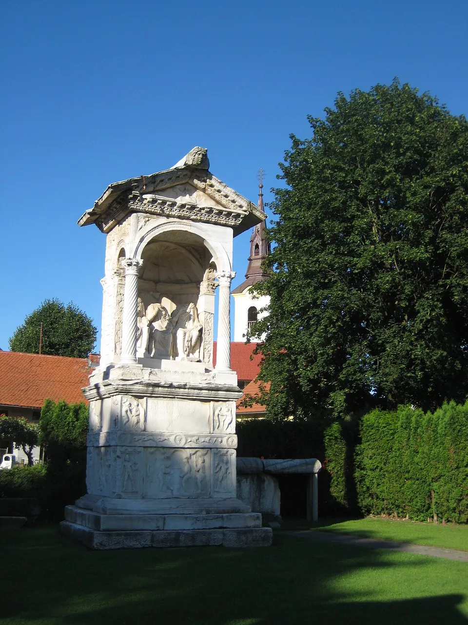
Photo: Sl-Ziga · Public domain · Commons
23 km · necropolis · Žalec
Šempeter Roman Necropolis
An open-air archaeological park, hedged round, south-west of the church of St Peter.
41 km · temple · Hajdina
Mithraeum I of Ptuj
A protective building covers the foundations of the shrine, with its floors and its altars in place — the register lists altars to Mithras and to his torch-bearers Cautes and Cautopates.
42 km · temple · Ptuj
Mithraeum III of Ptuj
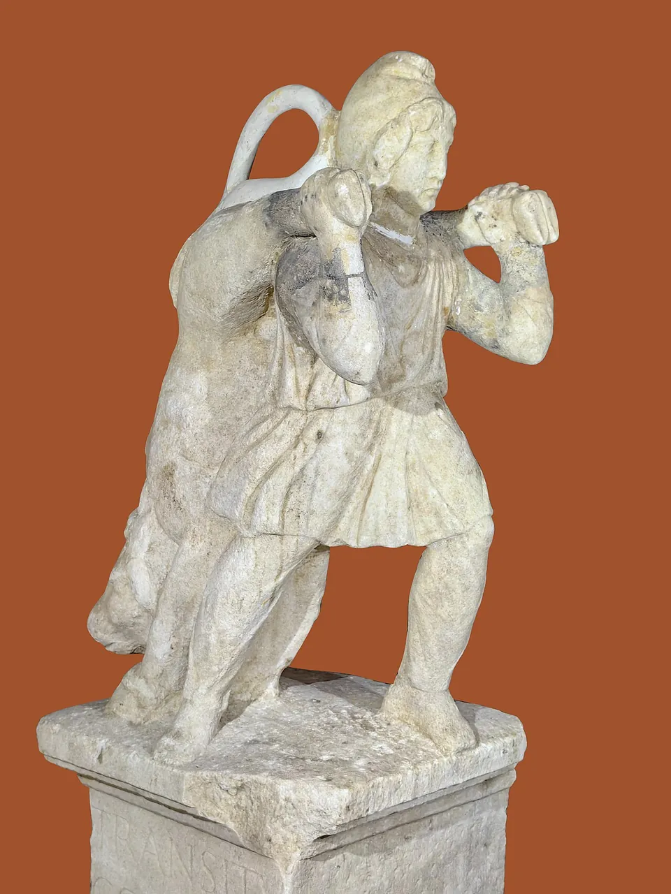
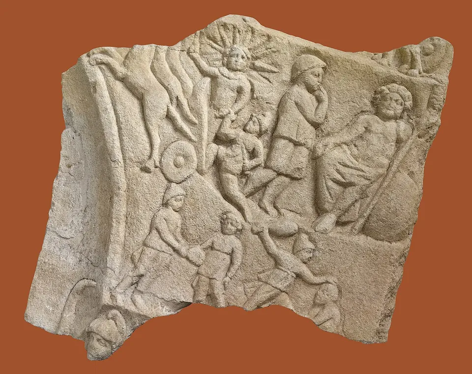
The foundations of the shrine, under a protective building, with its original fittings: altars, reliefs, cult images and scenes of the Mithras legend (heritage register).


Straight-line distances.
Sources
Every fact on this page comes from the records below, each used under the licence noted.
| Source | Licence |
|---|---|
| Wikidata Q139944883 | CC0 |
| OpenStreetMap node/3377833368 | ODbL |
| Register nepremične kulturne dediščine, unit 622 — Rifnik (Ministrstvo za kulturo RS, CC BY 4.0) | licence not recorded |
| Turistični portal občine Šentjur — Rifnik Archaeological Park | licence not recorded |
| Pokrajinski muzej Celje — Arheološki park Rifnik | licence not recorded |
| Wikipedia (sl) — Arheološko najdišče Rifnik | CC BY-SA 4.0 |
| Wikipedia (de) — Archäologischer Park Rifnik | CC BY-SA 4.0 |